

11. Forest fires. Techniques of scientific technical collection on topsoil crossed by fires for the detection of the causes of ignition. Advanced course
Course Objectives
To provide the scientific technical methodology to carry out criminal analysis and activities of a strategic nature and geographical profiling of offenders (collection and analysis on various forest fire cases). This course aims at identifying, in an objective and scientific way, the flame propagation dynamics (even 3D modelling), the injection site (ignition) of the fire and the determining causes of the events under investigation.
Programme
This programme has been planned in order to give learners, who have successfully passed the “basic module”, scientific technical methodology necessary to carry out the activities of strategic analysis on the forest topsoil hit by fire.
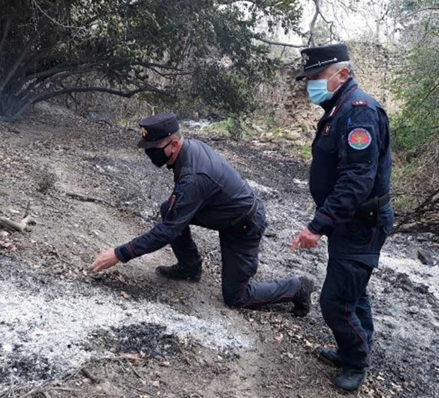
The methodology in question is based on the knowledge and the commitment of open source GIS software (Qgis) in the analysis and graphing of forest fire events (concentration maps). It also takes into account the administration of applied statistics and the learning and use of the Geometric Evidence Method prepared by the Forest Fire Information Unit, in collaboration with prestigious Italian Universities. The use of these methodologies makes it possible to identify, through simulations, the physical evidence left by the fire on the affected forest species, in order to lead the investigator to the place of origin of the flames and to analyse various potentially related events.
This module has been designed to ensure the best teaching of the skills described above, alternating frontal lessons in the classroom (also multi-building) and on the Forest Fire Area Simulator of the Training Centre based in Castel Volturno.